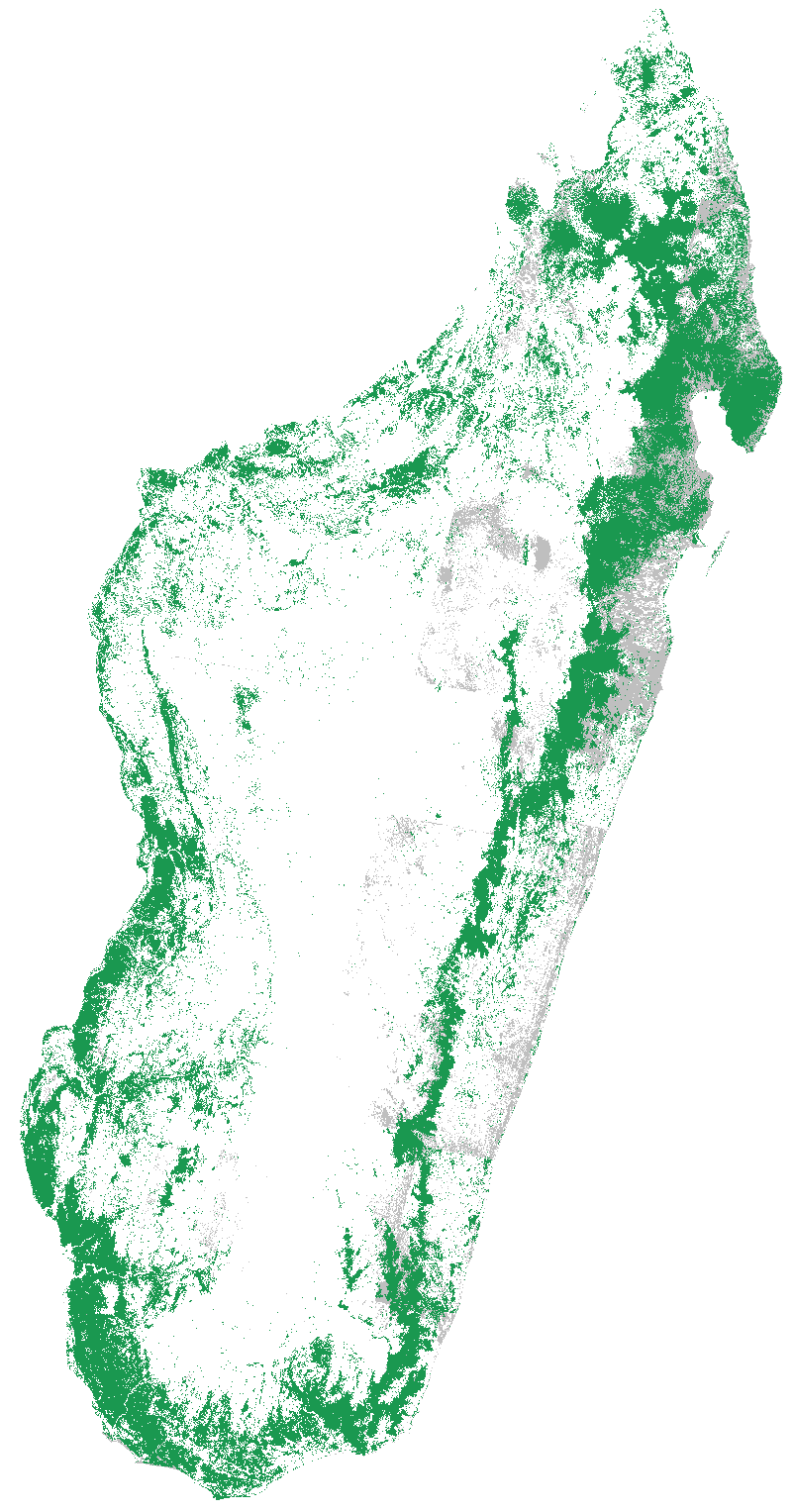
| National forest map for Madagascar for the year 2014 | GeoTIFF raster file, 30.4 Mo, EPSG: 32738, 30m resolution, Byte | for2014.tif |  |
| National forest map for Madagascar for the year 2010 | GeoTIFF raster file, 29.3 Mo, EPSG: 32738, 30m resolution, Byte | for2010.tif |  |
| National forest map for Madagascar for the year 2005 | GeoTIFF raster file, 28.3 Mo, EPSG: 32738, 30m resolution, Byte | for2005.tif | |
| National forest map for Madagascar for the year 2000 | GeoTIFF raster file, 27.4 Mo, EPSG: 32738, 30m resolution, Byte | for2000.tif |  |
| National forest map for Madagascar for the year 1990 | GeoTIFF raster file, 28.1 Mo, EPSG: 32738, 30m resolution, Byte | for1990.tif |  |
| National forest map for Madagascar circa 1973 | GeoTIFF raster file, 35.5 Mo, EPSG: 32738, 30m resolution, Byte, Code: 1=forest 5=cloud | for1973.tif |  |
| National forest map for Madagascar circa 1953 | GeoTIFF raster file, 17.5 Mo, EPSG: 32738, 30m resolution, Byte | for1953.tif |  |