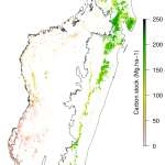
| National forest carbon map for Madagascar for the year 2010 | GeoTIFF raster file, 4.2 Mo, EPSG: 32738, 250m resolution, Int16 | ACD_for10.tif |  |
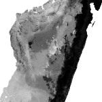
| National carbon map for Madagascar for the year 2010 | GeoTIFF raster file, 12.4 Mo, EPSG: 32738, 250m resolution, Int16 | ACD_RF_2010.tif |  |
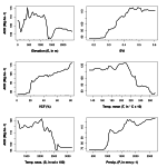
| Random Forests model used to derive the national forest carbon map | R data file (.rda), 3.3 Mo | RFmodel.rda |  |
| R script used to derive the national forest carbon map | R script file (.R), 47 Ko | Rscript_carbon.R |  |
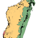
| ACD data used to derive the national forest carbon map | KML file (.kml), 2.2 Mo | ACD.kml |  |


